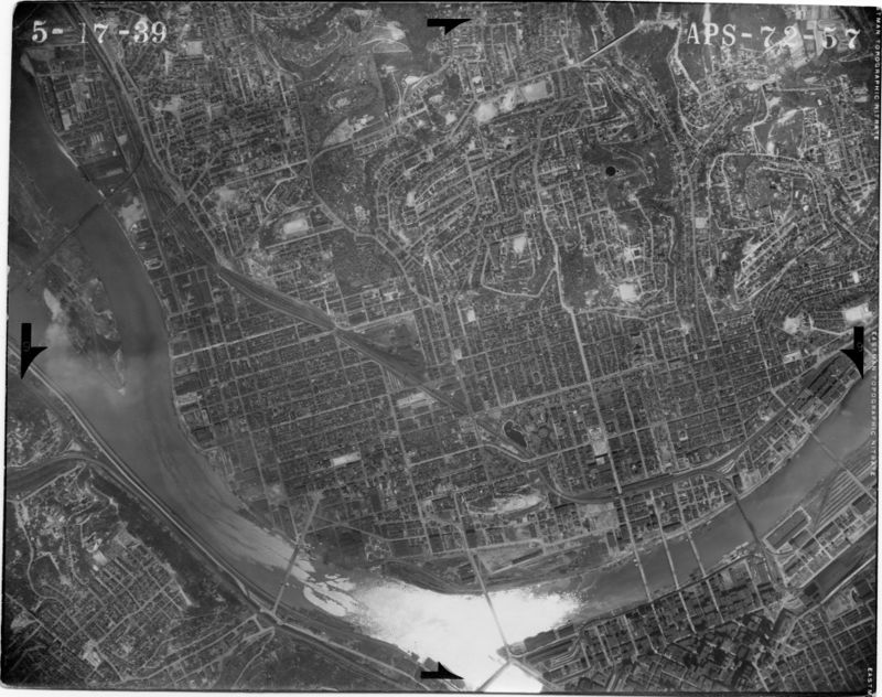
Source:North-side-aerial-1939
From Pittsburgh Streets
Aerial photograph APS-72-57. USDA Agricultural Adjustment Administration Northeast Division, 1939. https://www.pasda.psu.edu/pennpilot/era1940/allegheny_1938/allegheny_1938_photos_jpg_800/allegheny_051739_aps7257.jpg; https://www.pasda.psu.edu/pennpilot/era1940/allegheny_1938/allegheny_1938_photos_tif/allegheny_051739_aps7257.tif; included in the 1939 layer at Pittsburgh Historic Maps (https://esriurl.com/pittsburgh).

