File:Lemuel Spahr plan.tiff
From Pittsburgh Streets

Size of this JPG preview of this TIF file: 548 × 599 pixels. Other resolution: 1,872 × 2,048 pixels.
Original file (5,428 × 5,938 pixels, file size: 95 KB, MIME type: image/tiff)
Summary
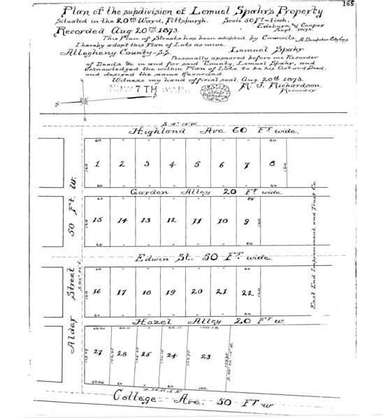
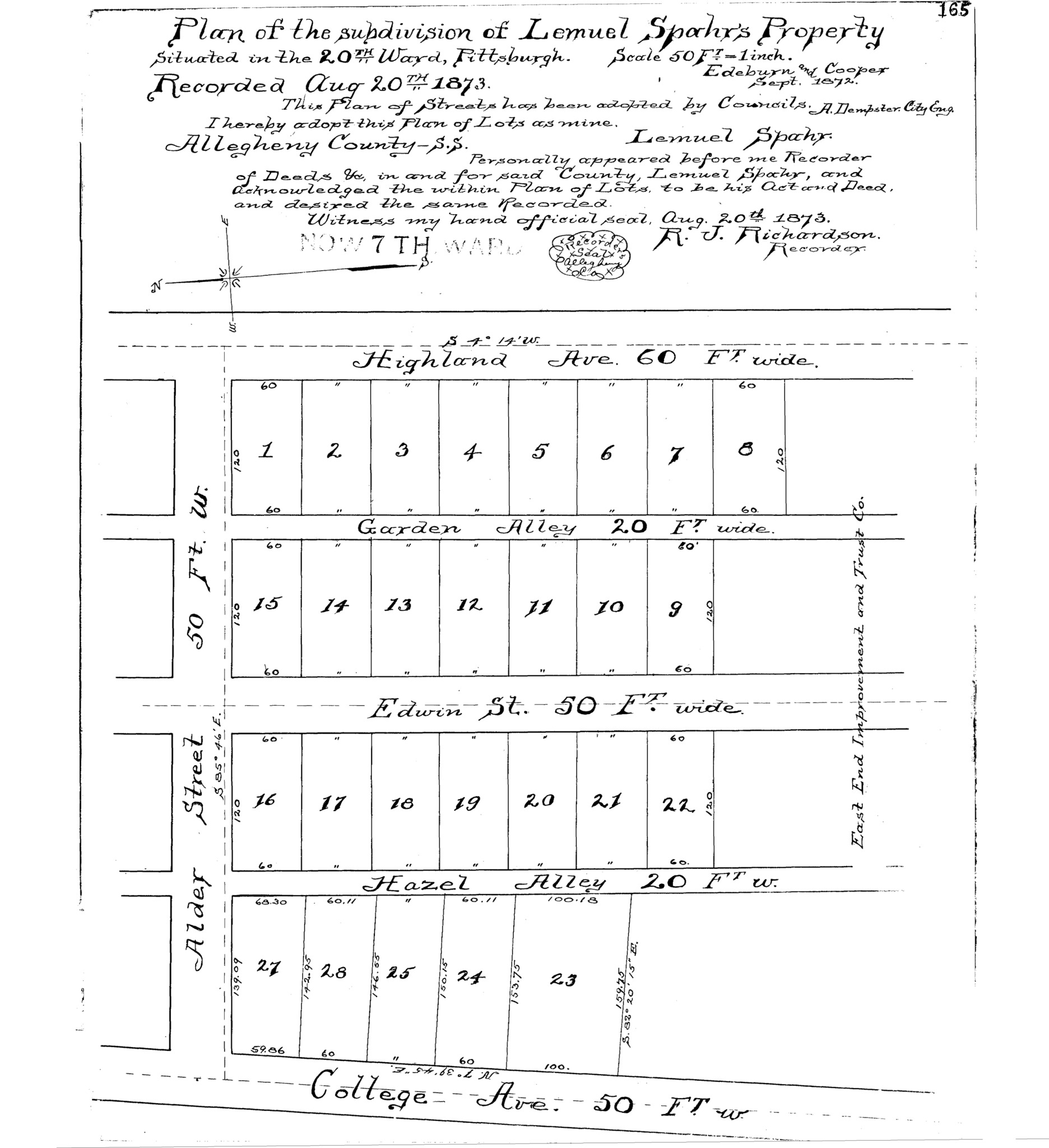
"Plan of the subdivision of Lemuel Spahr's property: Situated in the 20th Ward, Pittsburgh." Laid out Sept. 1872; recorded Aug. 20, 1873, Plan Book 5, p. 165. Allegheny County Recorder of Deeds 3779180. [view source] lemuel-spahr-plan
File history
Click on a date/time to view the file as it appeared at that time.
| Date/Time | Thumbnail | Dimensions | User | Comment | |
|---|---|---|---|---|---|
| current | 16:53, 26 February 2025 |  | 5,428 × 5,938 (95 KB) | Bkell (talk | contribs) | {{Source:Lemuel-spahr-plan}} |
You cannot overwrite this file.
File usage
The following 2 pages use this file:
